Services
During existence of our company we've accomplished many of small, big and even very large projects (in collaboration with big companies as Gefos, Exact, Angermeier, Geodata, NCC, Salini etc.). We are ready to work hard to meet our customer’s expectations, therefore do not hesitate to contact us.
Construction Surveying
Surveying for road construction, railways, industrial halls, bridges, tunnels, water lines, sewerage lines, etc.
Mapping
Background maps for civil engineering constructions, urban digital maps, thematic maps of factories, mining documentation
Surveying Volumes
Ground works, surface mining, landfill of waste, volume stocks of coal (gravel etc.)
Geo-Monitoring
Determining deformations on bridges, dams, tunnels, steel structures and on places where is big influence of on going construction on surrounding structures
Surveying for civil engineering constructions
We are specializing for a long time on civil construction surveying, which contains different types of surveying jobs:
- Design, measurement and adjustment of reference network
- Stakeout for civil engineering purposes
- As-build survey and creating related outputs
- Monitoring of deformations and movements
- Control and revision measurements
- Mining surveying
We have many experience with small and as well with big size constructions. We are authorized for verification of surveying works.
Fields of usage
- Building structures – industrial halls, factories, civil structures
- Infrastructure - road construction, railways, highways, pavements
- Engineering structures - bridges, tunnels, dams, overhead cranes
- Water management - lakes, reservoirs, melioration
- Line structures – water lines, sewage lines, gas lines, power lines


Cadaster and property surveying
For cadaster we do these types of work:


- Property surveying
- Stakeout of property borders
- Check and renewing of network points in cadaster
- Technical-legal services in cadaster (preparation of agreements for inputs into cadaster)
- Research of archive materials from cadaster
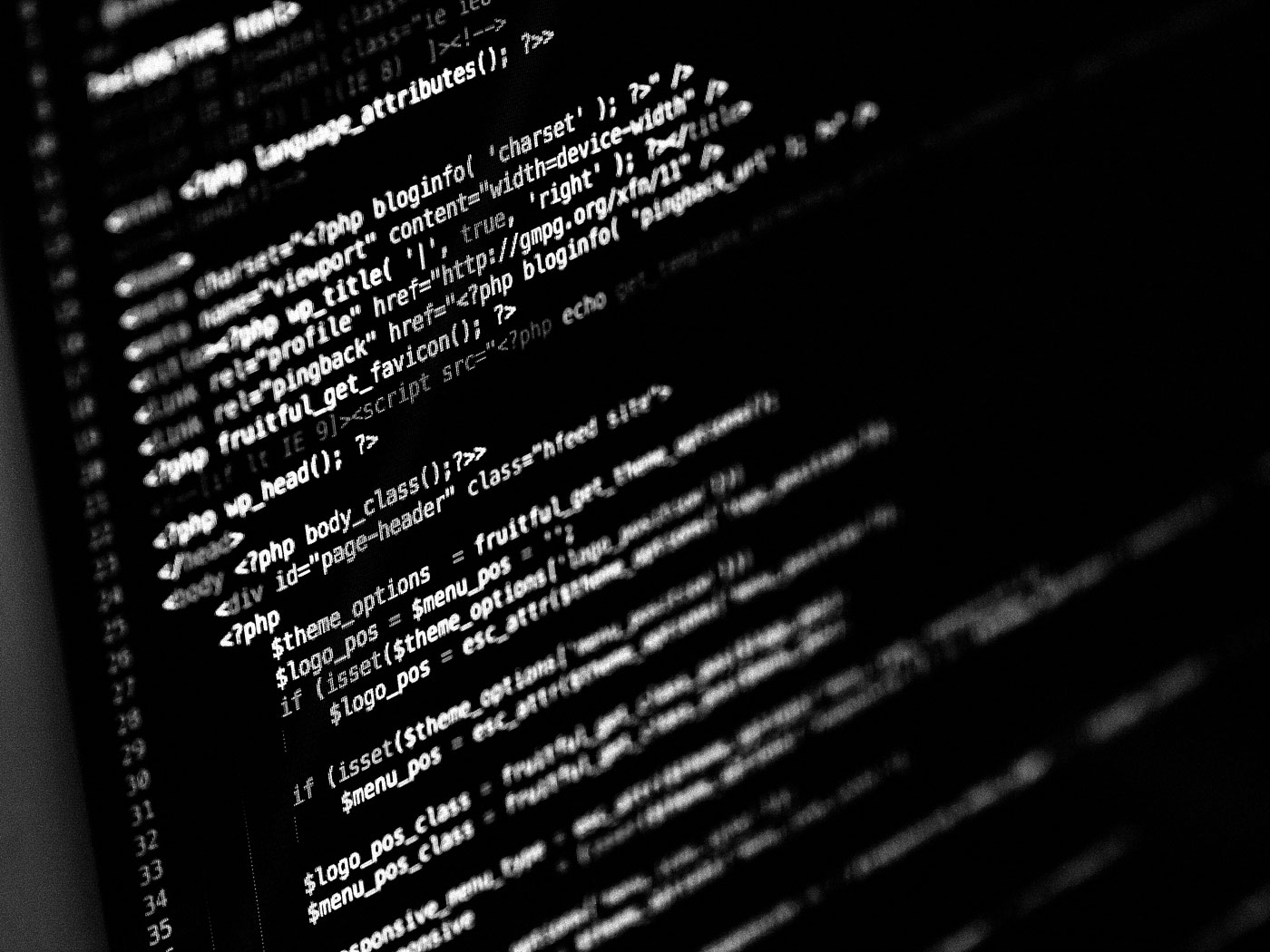
Geographical information systems (GIS)
Development of web GIS applications, database systems.
We have big experience with GIS systems. For GIS applications we provide surveying (collection) of GIS data, design and actualization of databases. We make also individual online applications solutions according to our customer needs. That mean software development based on DBMS and Client–server model web applications. Technology, which we using are on cutting edge, like Leaflet maps, or React components.
Mapping and creating of thematic maps
Background maps for civil engineering constructions, urban digital maps, thematic maps of factories, mining documentation


Surveying measurements for creating map (cartography) is done by using classical surveying methods in scale 1:500, eventually 1:250 containing elements selected by the needs of our customer or by the prescribed standard. Outputs can be, besides the maps, also cross-sections, a digital terrain model (DTM) or an high resolution orthophoto map. Results are mostly made in format Autocad (.dwg) or Microstation (.dgn).
Fields of usage
- Background maps for civil engineering constructions
- Digital urban map
- Thematic maps of factories
- Thematic maps of highways
- Thematic maps of railways
- Mining documentation
As-build documentation
Floor plans, cross-sections, facades (especially of historical buildings)
Measurement and creating documentation are done, after the objects are build up, if the documentation is no longer available or is out of date. As-build documentation is used for further reconstruction works, enlargements, demolitions, or in case of checking, whether the object was built according to the design.
Surveying measurements for as-build documentation are done by using classical surveying methods mostly in scale 1:50. For historical buildings is useful a combination with photogrammetry. Results are mostly made in format Autocad (.dwg) or Microstation (.dgn).


Measurement and calculation of volumes
Ground works, surface mining, landfill of waste, volume stocks of coal (gravel etc.)


Measurement and calculation of volumes, plane dimensions or surfaces are mostly done in two phases. During the first phase there is measured the current state and in second phase is measured the state after excavation, mining etc.. Data collection is done by standard surveying methods (total station, GPS) and as well using aerial photogrammetry which is done by drones. Output is done as plane view, cross-sections or calculated volume. Output can be done also as digital terrain model (DTM), point cloud or orthophoto map.
Fields of usage
- ground works – volumes after excavation works, volumes of used material
- surface mining – volumes of surface mining of natural raw materials, volumes of mined materials
- landfill of waste - volume stocks of coal, gravel, sand etc.
- volumes of spatial or atypical shapes
Photogrammetry
Digital surface model, high resolution orthophoto map, facades view
We use unmanned aerial vehicles as drones for Aerial photogrammetry, with this method we will create point clouds, which is ready for next processing and analysis. Outputs can be a digital surface models (including trees, buildings, and other elements), after applying series of GIS filters can be output also a digital terrain model (DTM), orthophoto (with high resolution as cm/pixel), or spatially correct graphical views of facades.
Fields of usage
- Documentation of historical buildings, facades
- Creating 3D models of spatial shaped objects and further calculation of volumes
- Periodic documentation of procedure in surface mines
- Creation of high resolution orthophoto maps for civil engineering and architects
- Forestry – documentation of wind-throw trees, afforestation, health state of trees and classification by vertical and horizontal structures


Geo-Monitoring
Determining deformations on bridges, dams, tunnels, steel structures and on places where is big influence of on going construction on surrounding structures


Monitoring is mostly done by 3D measurements or leveling (where we are able to determine settlements in parts of mm). We have big experience with all kinds of monitoring works for different occasions. The best and most reliable presentation of results of monitoring works is done in GIS systems (with online access).
We do monitoring works for various occasions
- Influence of construction works - monitoring movements of surrounding buildings and ground
- Long time period monitoring of bridges, dams etc.
- Monitoring by load tests on bridges
- Monitoring of railway alignments
- Monitoring of hillsides
- Convergence measurements inside tunnels to determinate the deformation of its dimensions
- Monitoring of steel structures
Track Surveying
Measurement and calculation of overhead crane and tower crane alignment parameters.
- Measurement during building of new overhead crane and measurement of adjusted overhead crane
- Regular controls and alignment adjustment of already build overhead cranes
- Unexpected breakdowns
By standard check of alignment of overhead crane we follow ISO12488-1:2012. We do also all graphical documentations as cross-sections, plain view of rail span etc.


About Us
We are team of professionals with long time experience in Land Surveying, Cartography, Software Development and related specializations.

Václav Klecanda
CO-Owner, GIS specialist, programmer
Vojtěch Klecanda
CO-Owner, Chief surveyor and GIS Specialist
Jakub Žlábek
Chief surveyor and Project ManagerContact
Chýnovská 127
ZIP Code: 391 56
city of Tábor
Czech Republic
info@geo2k.cz
CZE: +420 607 687 724
SWE: +46 76 585 97 93